Sand Overview
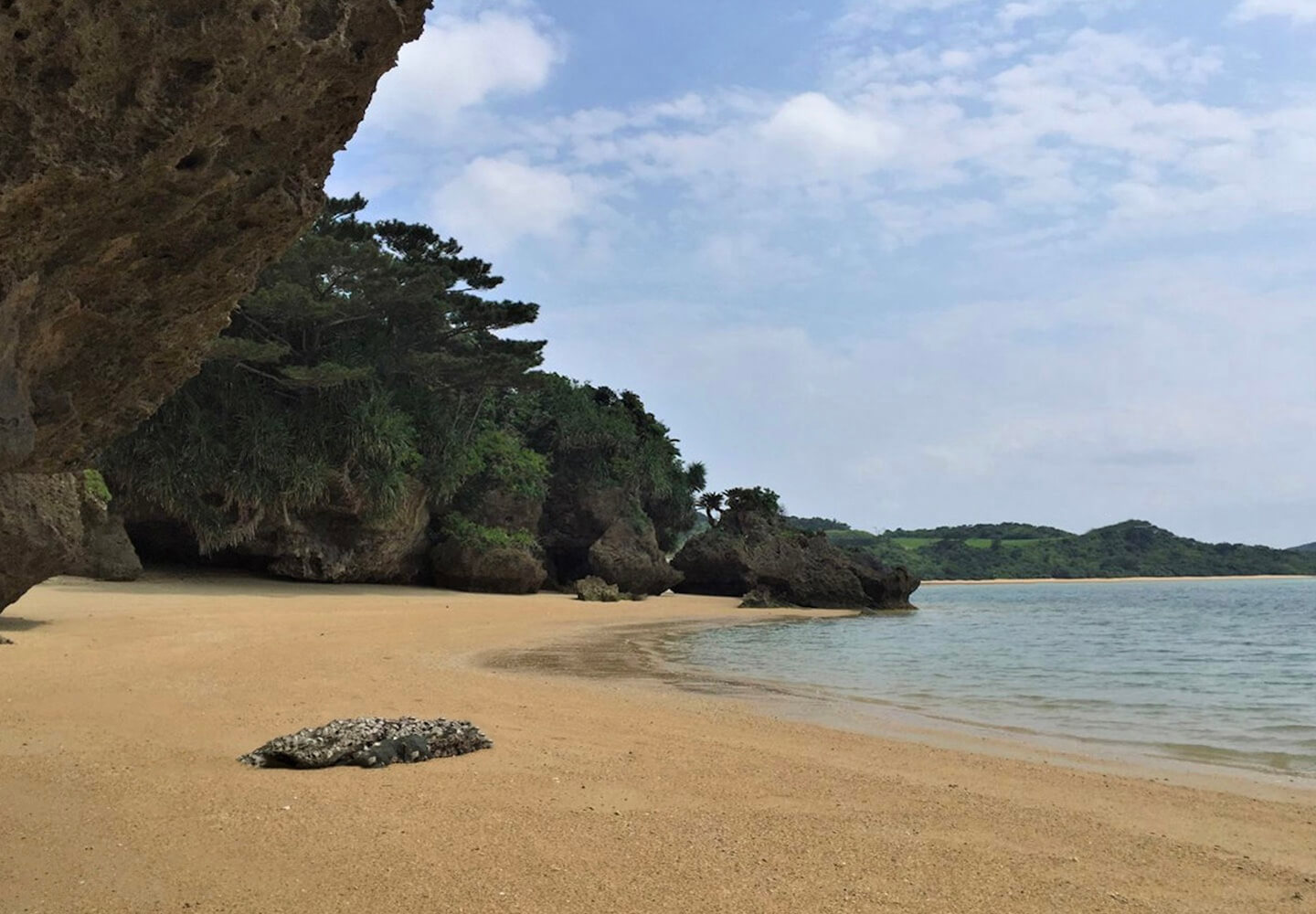
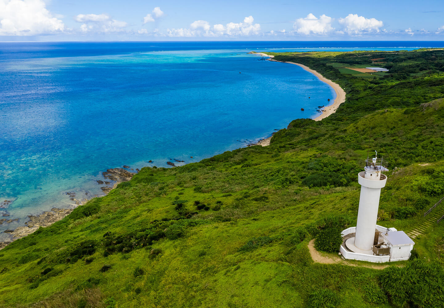
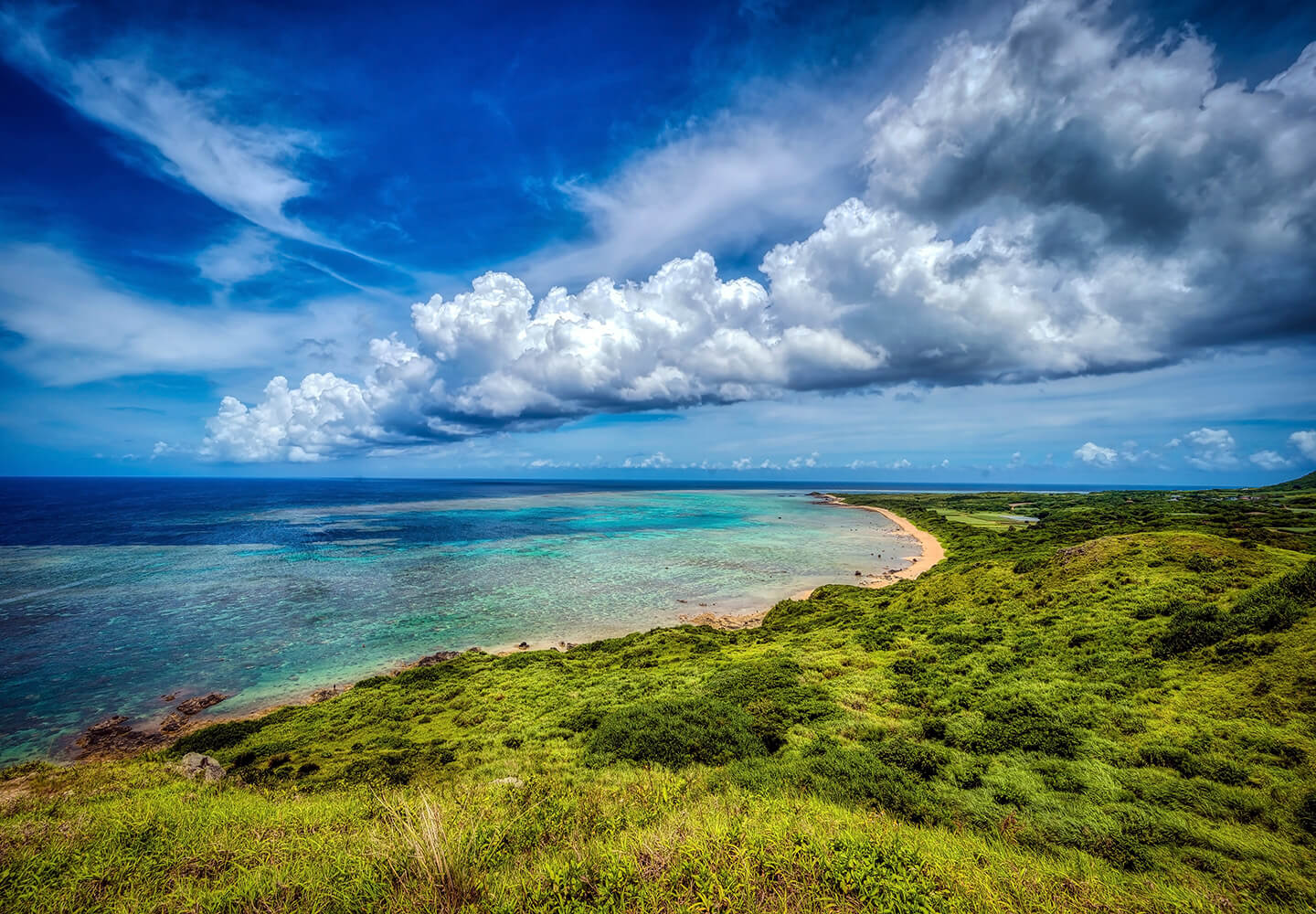
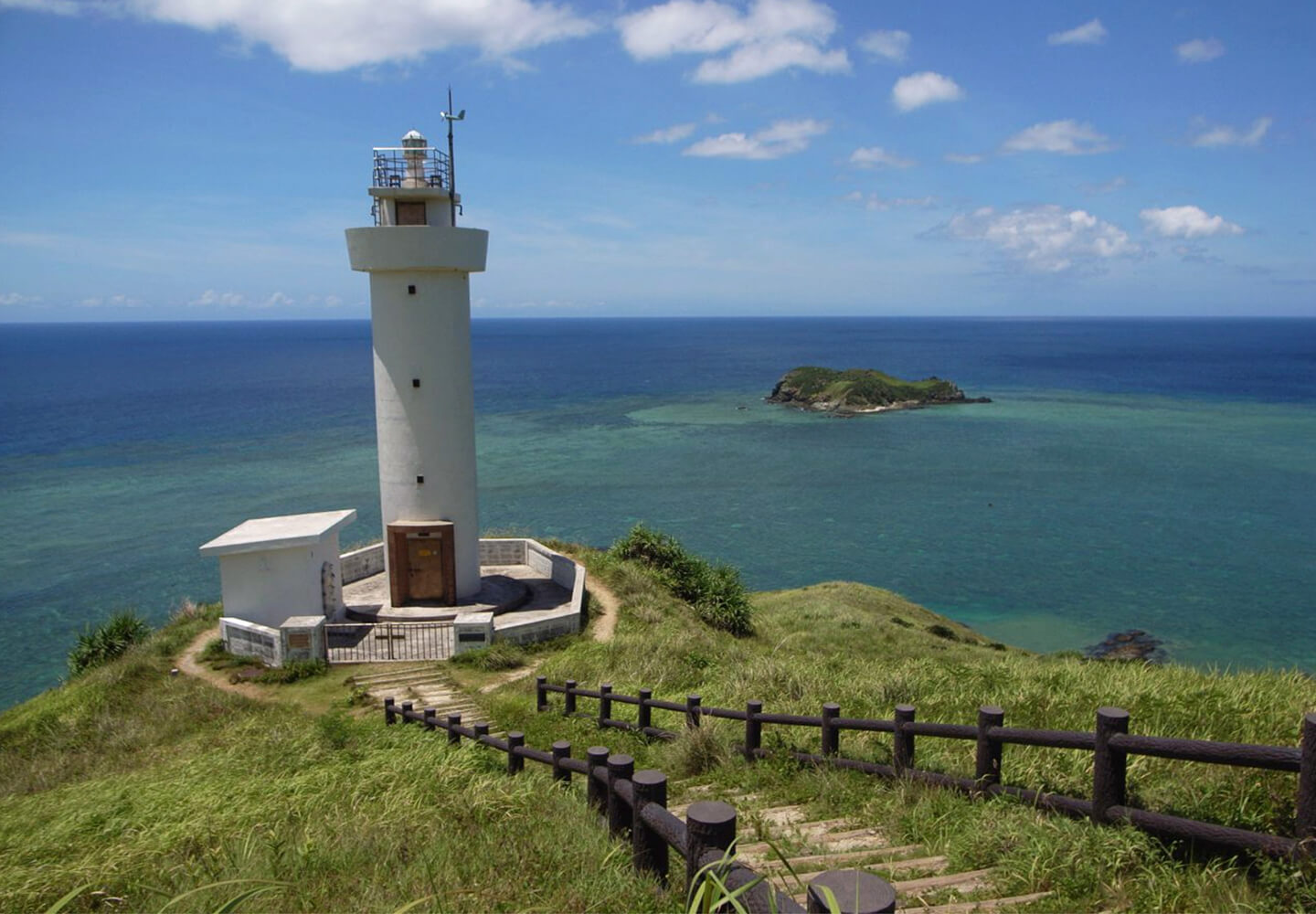
Ishigaki Island, the second largest of the Okinawa islands, is a mountainous island fringed by coral reefs. Hirakubozaki lighthouse is at the northernmost point of the island. Beach sand from this area is a mixture of biogenic, volcanic and granitic grains.
Geographic Overview
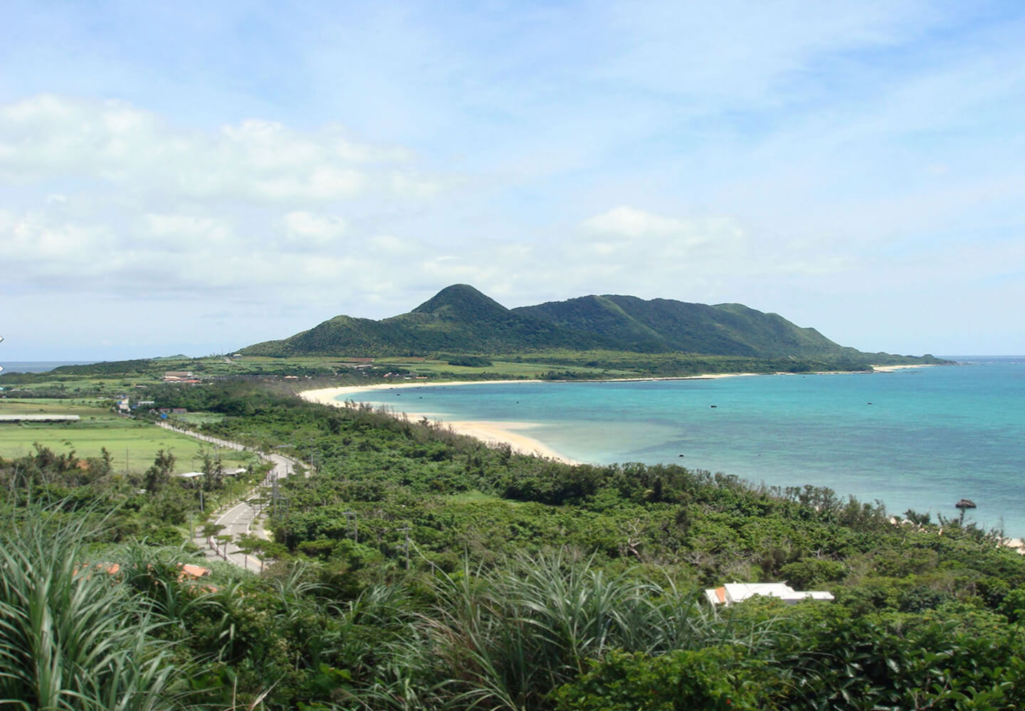
The topography of Ishigaki Island consists of volcanic mountains and limestone terraces that have been altered by successive tectonic forces. The oldest rock that forms the core or foundation of Ishigaki Island consists of schists of metamorphosed sediments and volcanic material subsequently covered by conglomerate, sandstone and limestone.

Sand Location
See where this sand sample was collected on Google Maps.

Virtual Sand Tour
Explore an interactive map of Ishigaki Island on Google Earth.
Sand Gallery
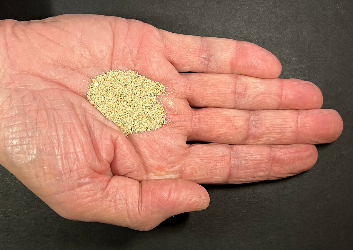
Beach sand from the Hirakubozaki area is rich in well-rounded biogenic grains representing skeletal remains of foraminifera species and fragments of coral, coralline algae, various shells and presence of occasional small gastropod shells, sclerites as well as volcanic grains. Sclerites are elongated translucent structures that are hardened internal spicules of certain sponges and corals.
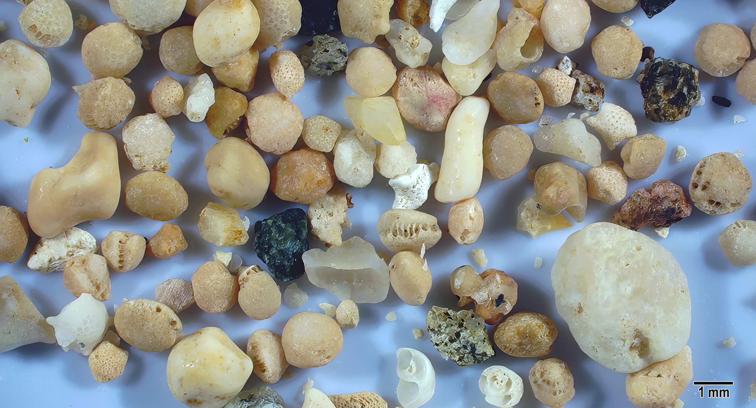
Tan, off-white and white smoothly worn sand grains are fragments of coral, broken snail fragments, and smooth, finely textured foraminifera tests. The dark rough grains are pieces of volcanic sand.
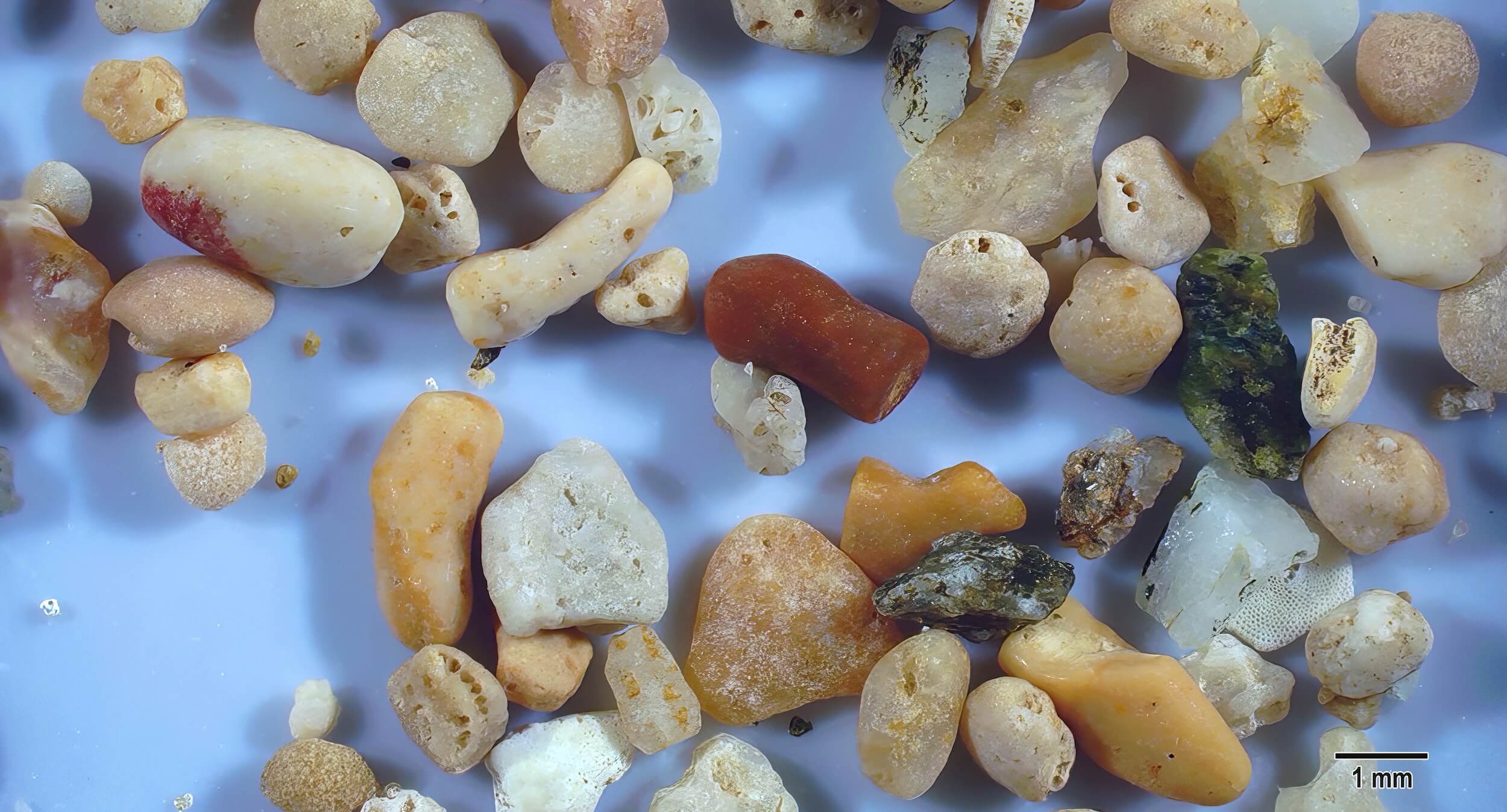
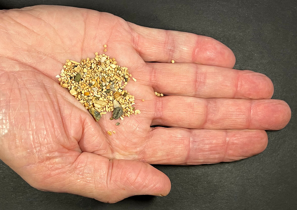
Smoothed light tan fragments of forams and a reddish-brown piece of coral are present in this image along with opaque white, greenish-black and gray-tan rough shaped bits of volcanic sand grains.
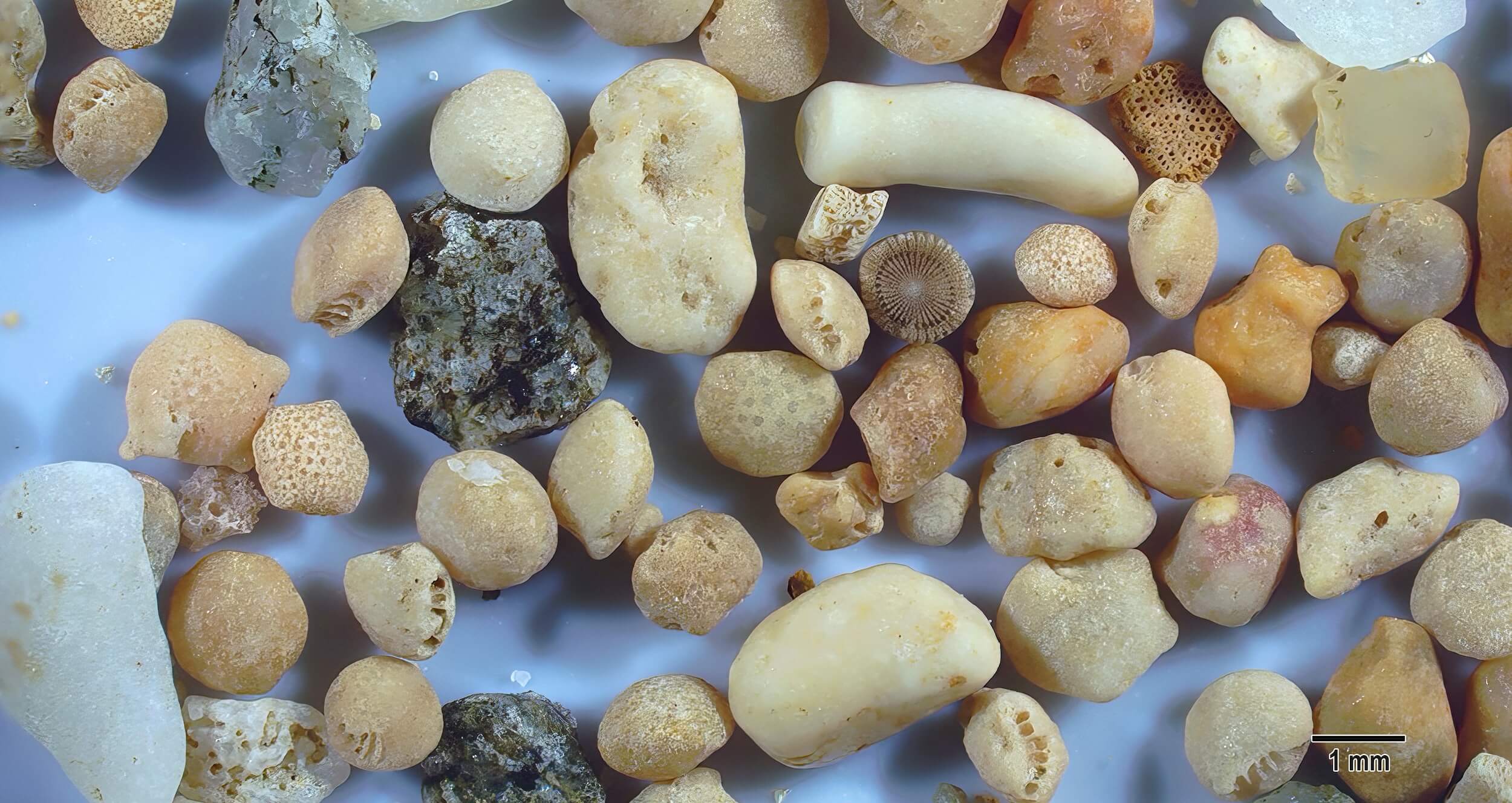
Large off white and smoothed pieces of coral are present along with worn foram fragments and a tan sea urchin spine cross section with a prominent radial pattern in the center of this image. The dark gray and black grains are pieces of volcanic rock.
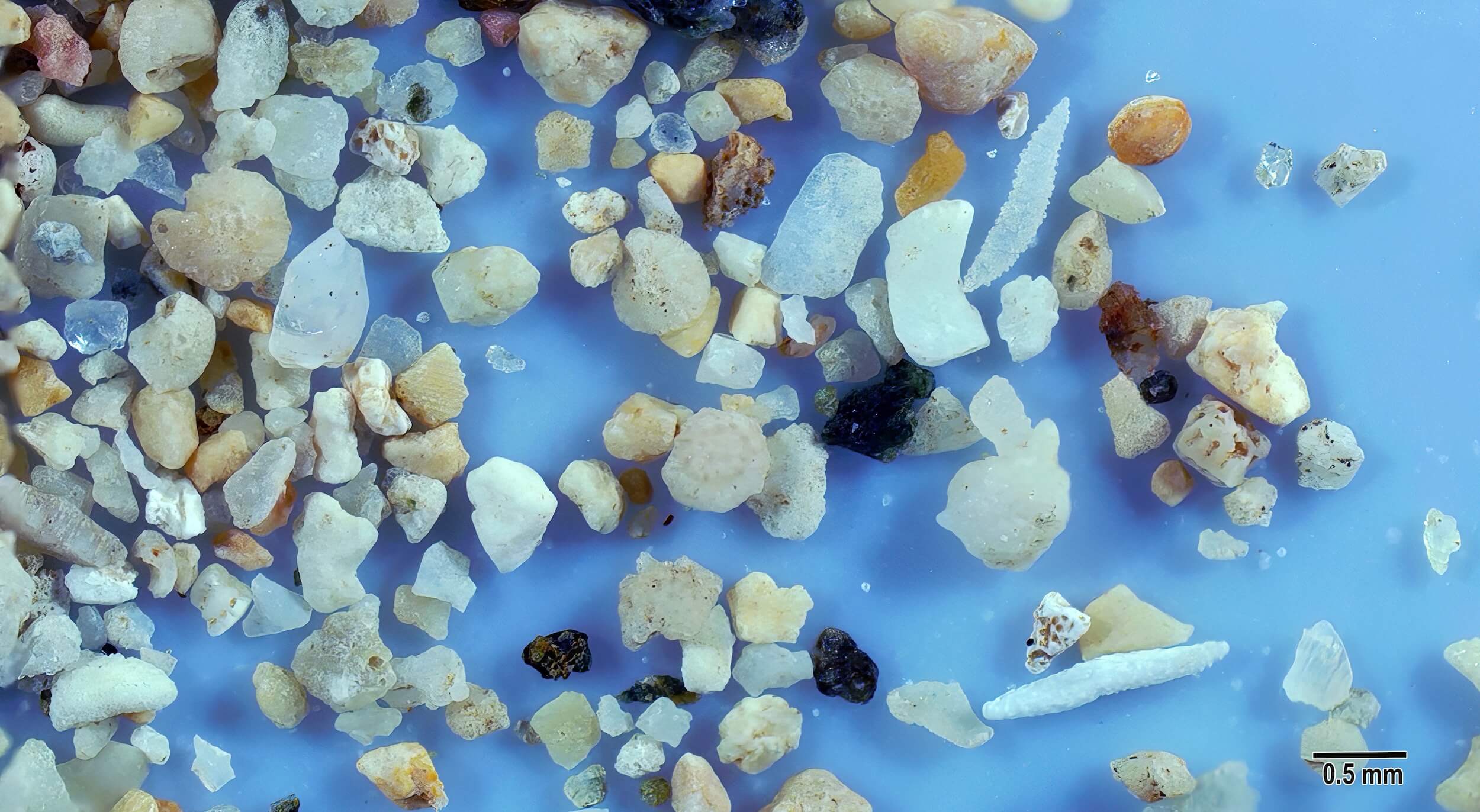
In this samples of smaller sand grains there are two white elongated sclerites, a mixed variety of white and tan biogenic sand grains, as well as black volcanic sand grains.
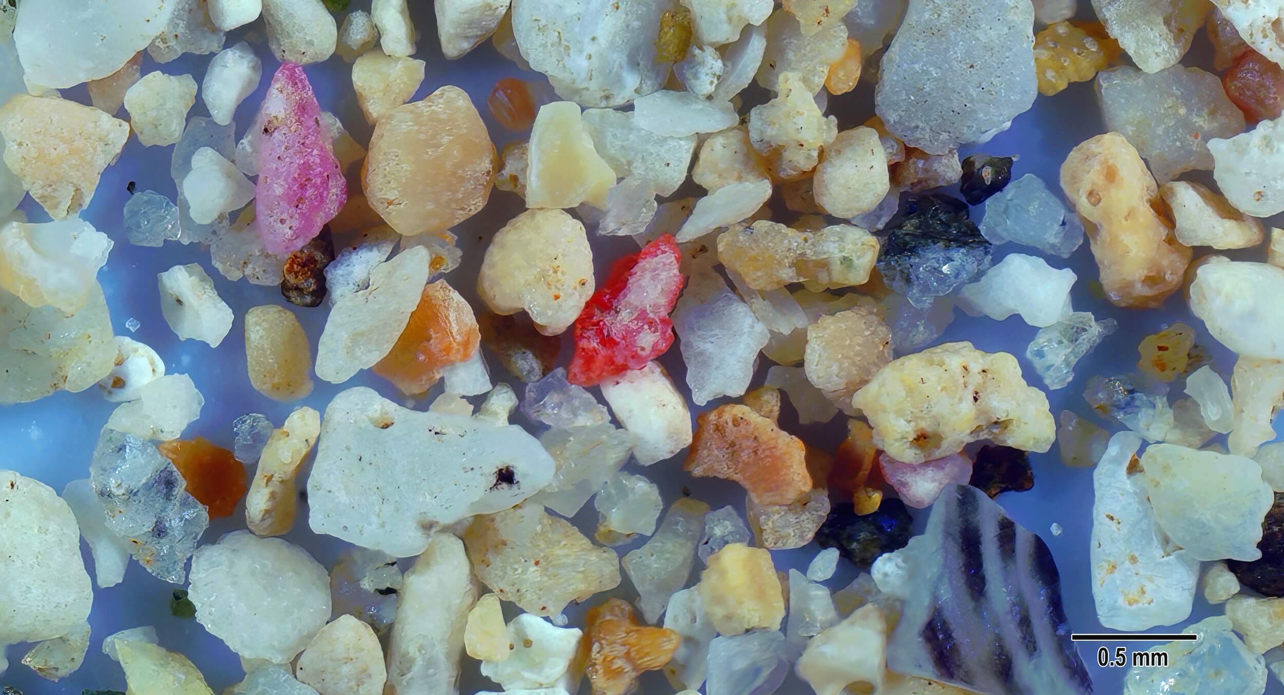
Red, rose and tan grains of coralline algae, linear black stripes on a shell piece, and other biogenic fragments are present along with some clear quartz grains in this sample.
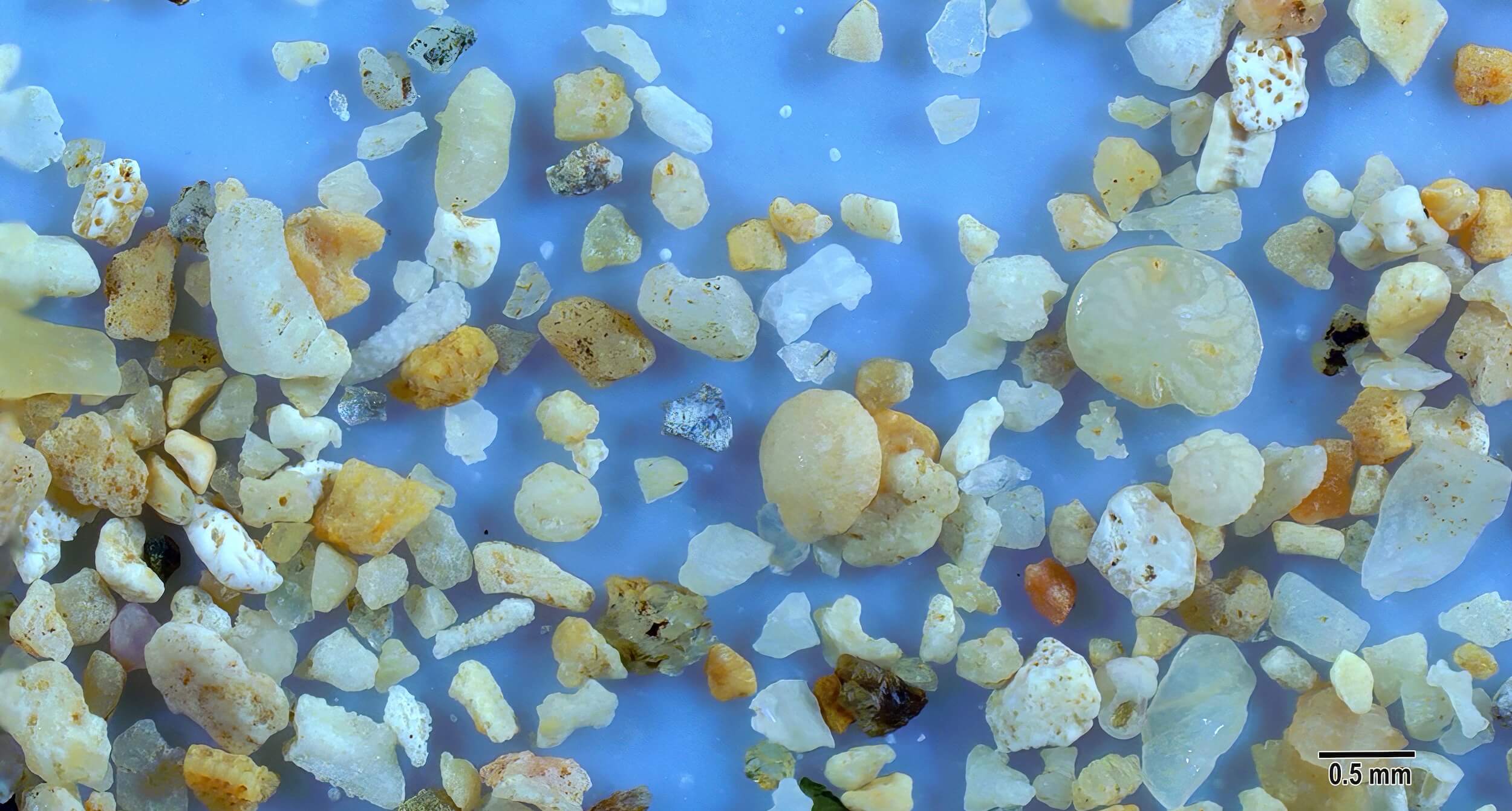
A large off-white foram showing some compartmental structure is present just to the right of center and immediately above a smaller foram. Other sand grains in this view include elongated fragment pieces of sclerites and occasional dark brown and black volcanic sand grains.